1700
Historical Information:
|
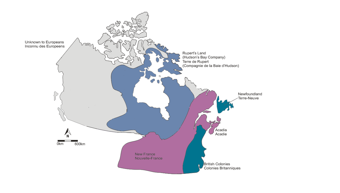
With the arrival of Jacques Cartier in 1534, he claimed the territory of Canada for the King of France, Francis I. However, he ultimately returned to France after the riches he was hoping to find were not easily accessible. Some 70 years later, Samuel De Champlain arrived and established the area around Quebec, first through a fur trading company, and eventually via governmental control.
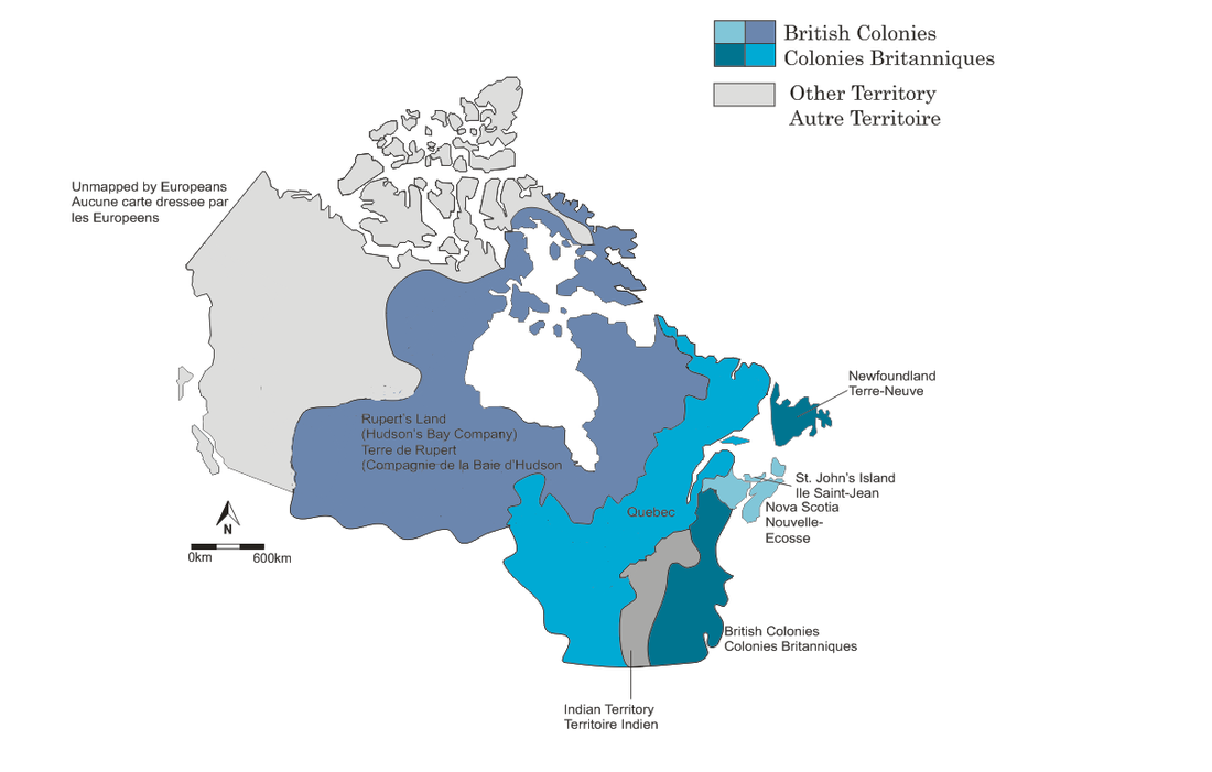
In 1670, the Hudson’s Bay Company was granted a charter of all of the watershed of rivers and streams flowing into Hudson’s Bay, thereby creating “Rupert’s Land,” named in honor of Prince Rupert of the Rhine. This area covered 3.9 million square kilometers, roughly equal to a third of the size of Canada. |
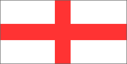
St. George's Cross (1577)
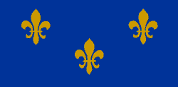
Fleur-de-lis (1647)
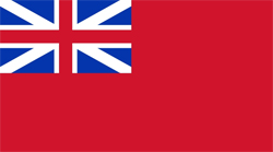
Red Ensign (1707)
|
|
1775
Historical Information:
|
|
|
This map shows the newly created "Indian Territory," which was established by George Washington to appease the Indians after an attack led by the Ottawa warrior, Pontiac, to stop the European expansion. With the American Revolution nearing the end, the border between America and Canada would soon be established with the signing of the Treaty of Paris in 1783. Refugees from the United States were now pouring into the newly created country of Quebec and were slowly establishing their lives along the Upper St. Lawrence.
The Seven Years War, from 1756 to 1763, between France and Britain, saw the fall of Louisberg to General Jeffery Amherst and James Wolf in 1758. Wolfe would carry on his legacy to defeat General Montcalm on the Plains of Abraham in 1759, which ultimately led to his demise. However, Britain would continue on to defeat the French army and take control of Quebec. |
Royal Union Flag (1707 - 1801)
|
 1791
1791
Historical Information:
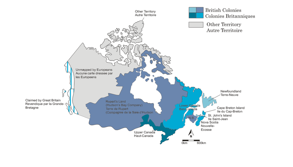
With the huge influx of Loyalists from the United States, Sir Guy Carleton, who had recently become Lord Dorchester, suggested that, since the population of Quebec was now a split between French and British citizens, the area should logically be split up into two parts. The northern part would be known as Upper Canada, governed according to British laws, and the southern part would become Lower Canada, which would uphold French law, religions, and traditions.
Boundary Changes
Boundary Changes
- 1798 St. John's Island renamed Prince Edward Island
- 1809 Labrador given to Newfoundland
- 1818 Boundary between Canada and the United States established at the 49th parallel
- 1820 Cape Breton annexed to Nova Scotia
- 1825 Treaty between Britain and Russia defines border between Alaska and British North America
